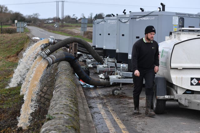
No respite for flood-hit areas as fresh bands of heavy rain forecast
The Met Office has issued a yellow warning for heavy rain in an already saturated South Wales.

A fresh band of heavy rain is expected to sweep over Britain as flooded communities from South Wales to northern England continue to recover from a fortnight of downpours.
The number of flood warnings in force in England dropped slightly on Saturday as the rain relented in many areas – albeit with gale forces winds continuing in the north.
But forecasters warned that the respite would be short-lived with a new band of heavy rain coming in from the south west from Saturday evening, followed by another wave on Sunday night extending into a grim-looking Monday for most of the UK.
The Met Office has issued a yellow warning for heavy rain in an already saturated South Wales from 10pm on Saturday to 11am on Sunday causing further concerns over flooding after many towns and villages were inundated by last weekend’s Storm Dennis.
On Saturday evening, nine flood warnings remained in force across Wales – mainly on the River Severn and River Dee – with 10 flood alerts.
In England, the two severe flood warnings on the River Lugg, in Herefordshire, were downgraded but 75 flood warnings and 156 flood alerts remained in place.
Friday night’s flooding in parts of West and North Yorkshire, on the southern edge of the Yorkshire Dales, subsided during Saturday.
The village of Horton-in-Ribblesdale was cut off on Friday by rising water and there were road closures and fears of further flooding along the Otley-Ilkley-Skipton corridor, north of Bradford.
North Yorkshire Fire and Rescue Service said they had to rescue four people from a stranded car in Skipton on Friday night and two horses stuck in floodwater nearby.
The Met Office said the overnight band of rain would give way to more showery weather during Sunday.
But it warned that the weather system was due to pivot back on Sunday night, bringing widespread rain and wind for many parts, with snow over central and southern Scotland and the hills of the north Pennines bringing a grim start to Monday.
A yellow weather warning for heavy rain has been issued for 3am to 3pm on Monday.
Dan Suri, chief forecaster at the Met Office, said: “A relatively deep area of low-pressure system on Monday provides a continuation of the extremely unsettled period the UK has endured.
“Despite reports to the contrary, this system hasn’t been named, and there is no plan to do so currently, despite some speculation on social media.
“With further rain in the forecast over the coming days, additional rainfall could create further challenges as river catchments are more likely to respond to extra rainfall more quickly. Flooding, especially in areas already heavily affected, remains a possibility.”

“Over the coming days our teams will be checking for any signs of damage to our flood defences, and removing blockages and debris which has built up in culverts and drainage grids etc.”
Despite the Met Office’s decision not to name the latest bout of stormy weather, it is the third consecutive weekend of heavy rain, with swathes of South Wales and northern and central England still trying to cope with the impact of Storm Ciara and Storm Dennis.


