Google Maps to show public transport coronavirus warnings
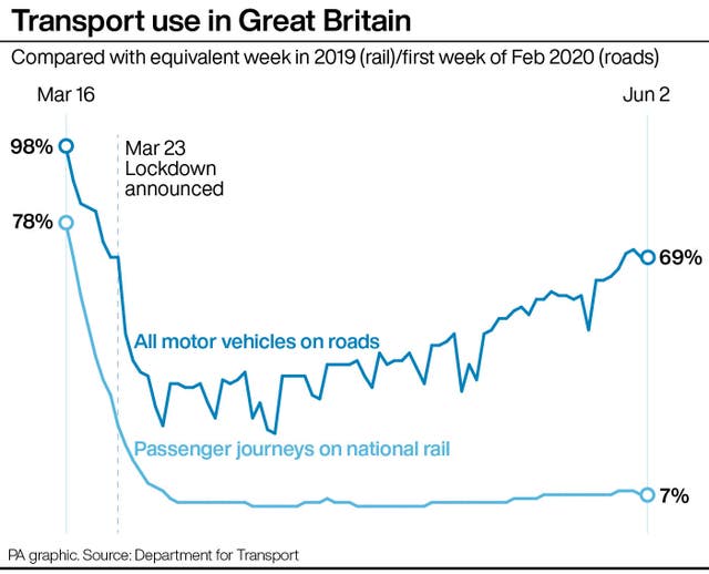
The move comes as the Government prepares to make face coverings mandatory on public transport in England from June 15.
Google will show commuters the latest public transport alerts within its Maps platform in a bid to help people avoid overcrowding during the coronavirus pandemic.
Transit alerts will appear whenever a trip is likely to be affected by Covid-19 restrictions, with mandatory precautions from official local data.
These include warnings if public transport services are suspended due to the pandemic.
Google is rolling out the feature in the UK, as well as Argentina, Australia, Belgium, Brazil, Colombia, France, India, Mexico, Netherlands, Spain, Thailand and the US.

It comes as face coverings are set to be made compulsory for people wanting to travel on public transport in England to limit the spread of Covid-19 from June 15, while Scotland, Wales and Northern Ireland are recommending their use.
Google is also introducing alerts on Maps for drivers to provide information on checkpoints and restrictions along their route, such as when crossing national borders – though this feature will only be available in Canada, Mexico and the US initially.


