

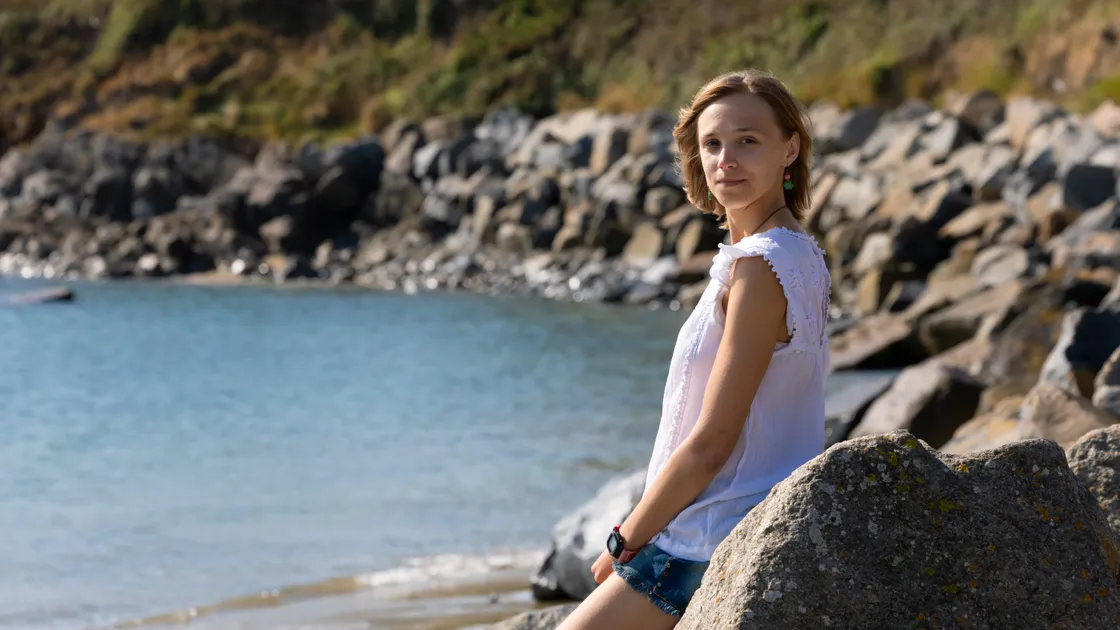
Robyn Surcombe is studying physical geography at the University of Edinburgh, and has a particular interest in how community engagement plays a role in climate change, and environmental hazards.
She is using her final-year dissertation to investigate which areas of St Sampson’s and Vale could be most vulnerable to flooding under different future sea level and extreme weather scenarios. The project combines computer modelling with information gathered from islanders about their own experiences of flooding, the places they consider important, and whether they think the States is doing enough to mitigate risks.
‘There’s still a lot of work to do on it,’ she said.
‘I ran a stall at Seafront Sunday earlier this month, and handed out these questionnaire booklets I’ve made.
‘They ask a number of questions, including about people’s past recollections of flooding in the island, and which parts of Vale and St Sampson’s they imagine would flood in a hypothetical scenario.
‘That’s in an effort to understand people’s perception of risk, to assess vulnerability.
‘If the community perceives a low level of risk in an area where the risk is actually high – they’re probably more vulnerable.’
Miss Surcombe went to school at Notre Dame and then The Ladies’ College. She became particularly interested in natural hazards and human impact after spending the past academic year on a study exchange in Wellington, New Zealand. She decided to apply all she has learned from her round-the-world studies to her home island.
‘I’ve really picked a subject that I find fascinating and challenging,’ she said.
‘The benefits of going away and learning from other places are being able to bring back a different knowledge and understanding.
‘NZ is interesting because it’s got everything in terms of natural hazards and risk – earthquakes, volcanoes, tsunamis, sea level rise, flooding – it’s awful, they’ve got so much to worry about. I got an interest in it because it’s taking hazards from the natural environment and combining them with people.
‘That’s why I chose to study geography – it combines nature and people.
‘In NZ lots of the research is very people-focused, and I want to apply that approach here, in Guernsey. Climate change is global, so expanding my understanding on the other side of the world, I think was important.’
She created the model for the project in NZ in March, and plans to create a visual island map, highlighting varying risk-zones, by next spring. Her research focuses on St Sampson’s and Vale because of their low-lying areas, population, infrastructure and natural spaces.
She is using sea-level projections from UK data to model how different areas could be affected.
‘My maps will not be an accurate representation of what’s going to happen,’ she said.
‘They’re me applying a methodology to a case study.’
She hopes her work will provide a useful baseline that might highlight where further research could be worthwhile. Before heading back to Edinburgh this week, she aims to collect 100 completed booklets, and has received about 70 from Seafront Sunday alone.
‘The responses have been really interesting,’ she said.
‘Some people have said they’ve never really thought about this, and others think that the stormy, high-tide conditions we’re experiencing now are worse than they used to be.
‘But then some people say they’ve lived here all their life and have never seen the sea level rise.’
Miss Surcombe said there was also considerable uncertainty around the effects of future developments, sea defences and land reclamation.
‘The interesting thing about Guernsey is that we don’t have the same granularity of data on tides and sea levels as you do on some parts of the south coast of England or France,’ she said.
‘But what we do have is people’s experiences and their knowledge. What people have in their heads is anecdotal data – but it’s still interesting and important information to have.’
She has also found that people’s experiences of flooding do not necessarily correspond with the risk areas highlighted by modelling.
When asked where they had experienced coastal flooding, many islanders pointed towards the west coast and town, rather than Vale and St Sampson’s, where the States focus now is, protecting house-building sites in the Braye du Valle.
She said the aim for her final product was to show distinction between hazard and risk.
‘Somewhere might not be hit so hard physically, but if they’ve got vulnerable people living in the area, then actually that might be worse-impacted than somewhere with lots of flooding, but no one around,’ she said.
The project has taught the student an unexpected lesson in communicating science. After creating her initial community booklet, Miss Surcombe showed it to her family.
‘It made a lot of sense to me, but they were like: “this is so hard to understand. This looks intimidating, and what does this word mean?”
‘I had to go back and make it super, super simple, so I could get the information I wanted from people.’
For Miss Surcombe, that community element is just as important as the modelling.
‘If you’re doing research for climate hazards, ultimately the reason we care about it is because it affects how we live,’ she said.
‘So people should be involved in the research.’
Miss Surcombe has not yet decided what she will do after university, but said she was interested in seeing where this type of work could take her.
‘Everywhere has climate issues,’ she said.
‘I do have another field study planned for another course in Iceland, which I’m very excited for.’
Her survey booklets are available from the St Sampson’s Douzaine Room for anyone who wants to help with the research.
Parish constable David Hannah said that the douzaine was very supportive of the youngster’s research.
‘It’s something that could really affect us at the north end of the island,’ he said.
‘Although there’s a lot of talk about flood barriers,
‘I think they’re unrealistic, given the time restraint and the cost. Robyn’s research might raise awareness, so then maybe the powers that be can do a little more before something happens.’