
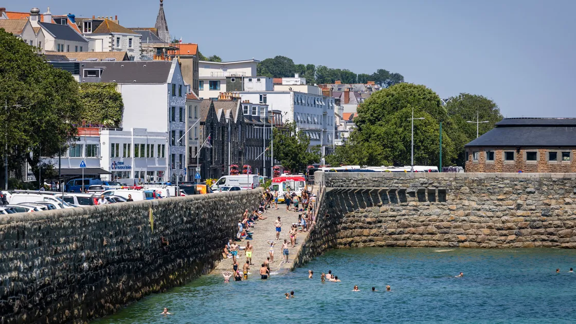
The month saw the highest official air temperature with 36.4C on Thursday 25 June and a mean monthly temperature of 17.5C, breaking a record of 180 years by 0.2C.
But sunshine was fractionally below average, despite six very sunny days during the heatwave, and the month was the dullest June for five years.
Rainfall was below average but Monday 1 June was the wettest June day for six years with 23.44mm of rain.
It was also the windiest June for 13 years and saw 11 days where fog was noted at some stage.
In the heatwave from Sunday 22 June, daytime highs topped 30C for four consecutive days, peaking on the 25th.
But night-time maximums fell below 20C each night.
The month was also the hottest June ever recorded in Jersey, where the average temperature was 19.2C, beating its previous record from 12 months ago by 0.5C.
During the heatwave the island recorded three ‘tropical nights’ above 20C and its all-time record high of 39.3C on Friday 26 June was the hottest June temperature ever recorded in the British Isles.
Jersey Met has said that a sustained period of warm weather is now predicted for the next week with heatwave temperatures above 28C forecast from today, and expected to rise through to the end of the week, though record temperatures are not expected again, with winds from the north-west having a cooling effect. The UK also had its warmest June ever, with an average temperatures almost 3C above average at 17.1C.





You need to be logged in to comment.